

Bringing communities together
One square at a time.
Control land, control its future.
Bring people together around a place you care about
Landgrid turns a shared project into something everyone can be part of. Neighbours, friends and supporters each take a square on the map, put their name to it and see who’s standing beside them.
One square at a time, a scattered group of well-wishers becomes a community — and together you raise what the project needs.
Key features
Made for people doing something together
Personalise ‘your square’
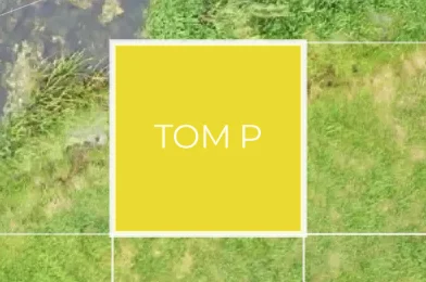
You can personalise each square and use the ‘Be My Neighbour’ feature to actively build connections and foster a sense of community.
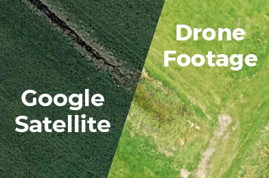
High-res imagery
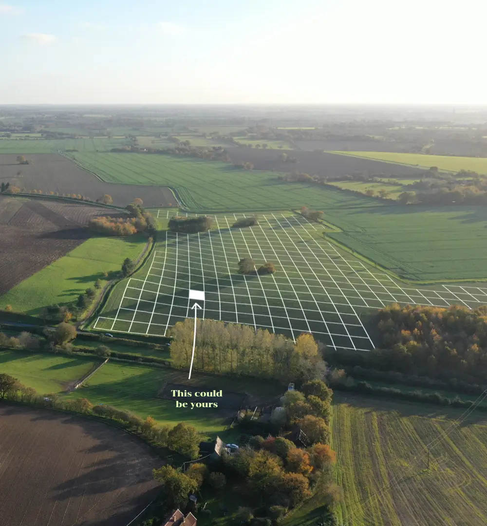
Overlay drone photography or high-resolution satellite imagery to give supporters a detailed visual of your project.
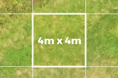
Not just 3×3 metre squares
Divide the project into squares of customizable dimensions to align with the scale and budget of your initiative.
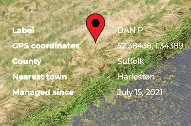
Tangible, fixed coordinates
Supporters are assigned a fixed square of land, viewable on the LandGrid.io interactive map or accessible via GPS coordinates.
How it works
Three simple steps to bring people in
- 1
Step 1
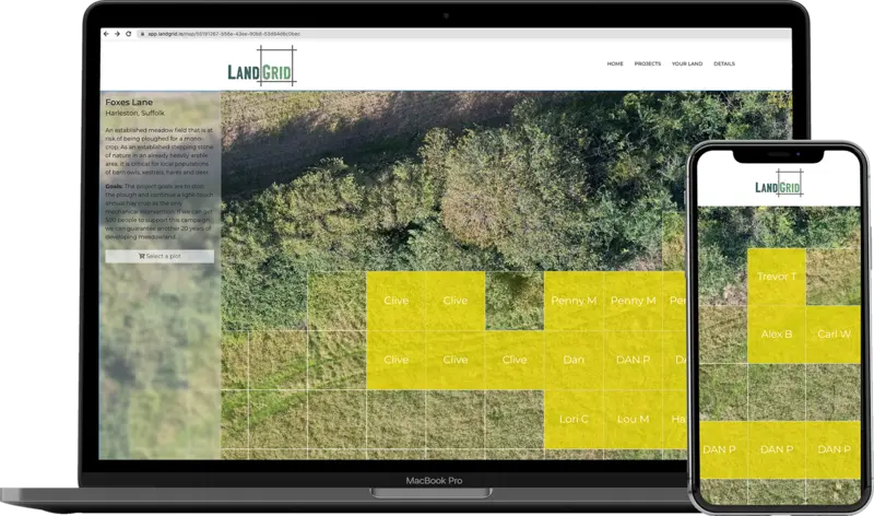
Your audience will be directed to your specific map page via your website or social media channels. There, they’ll encounter an interactive map with a grid overlay, showcasing the land associated with your project.
- 2
Step 2
Clicking on a square within the grid reveals detailed information about the project, including its goals and plot size. Choose a square, put your name on it and add your support.
- 3
Step 3
Contributions are processed securely by Stripe, and you’ll receive a confirmation email straight away. Your Landgrid dashboard keeps you up to date with the project and shows you your square — and the neighbours around it.
Questions
About LandGrid, in brief
What is LandGrid?
LandGrid (LandGrid.io) is a web tool that brings a community together around a shared project. The place is shown on an interactive map divided into a grid of squares, and supporters each choose a square, put their name on it and add their support online.
How does it work for supporters?
Supporters follow a link from the project’s website or social media to its map page. Clicking a square shows the project’s goals and plot size; they put their name on a square and add their support. They receive a confirmation email and a LandGrid dashboard that keeps them up to date with the project.
How big is each square?
Each project chooses its own square size — for example 3 × 3 metres or 4 × 4 metres — to suit the scale and budget of the project.
Is each square a real, fixed place?
Yes. Every supporter is assigned a fixed square, which they can find on the LandGrid map or by its GPS coordinates.
How does it bring people together?
Supporters can personalise their square and use the ‘Be My Neighbour’ feature to connect with the people on the squares around them, so a scattered group of supporters can see itself as one community.
What does the map show?
Projects can overlay drone photography or high-resolution satellite imagery, so supporters get a detailed view of the land they are helping.
How are contributions handled?
Contributions are processed securely by Stripe, and supporters get a confirmation email straight away.
Can I see an example?
Yes — the Wilderness Farm demo project at wildernessfarm.landgrid.io shows a live LandGrid map.
Who created LandGrid?
LandGrid was founded by Alex Hammond, a brand strategist and creative director. To start a project, get in touch through the contact page.